Education for all people
Close
Menu

Navigation

  • 1 Year
  • 5th Year
  • Literatures
  • Portuguese Language
  • English
    • Russian
    • English
    • Arabic
    • Bulgarian
    • Croatian
    • Czech
    • Danish
    • Dutch
    • Estonian
    • Finnish
    • French
    • Georgian
    • German
    • Greek
    • Hebrew
    • Hindi
    • Hungarian
    • Indonesian
    • Italian
    • Japanese
    • Korean
    • Latvian
    • Lithuanian
    • Norwegian
    • Polish
    • Romanian
    • Serbian
    • Slovak
    • Slovenian
    • Spanish
    • Swedish
    • Thai
    • Turkish
    • Ukrainian
    • Persian
Close

Map of Brazil to color

In this article you will find several designs of the Map of Brazil to color and print.

Brazil, a vast South American country, stretches from the Amazon Basin in the north to vineyards and the gigantic Iguaçu Falls in the south. Rio de Janeiro, symbolized by its 38-metre high statue of Christ the Redeemer perched on top of Corcovado, is famous for its bustling Copacabana and Ipanema beaches, as well as the immense and lively Carnival, with parades of floats, extravagant costumes and samba.

  • Population: 209.3 million (2017) World Bank, Most Popular
  • Capital: Brasilia
  • Dialing code: +55

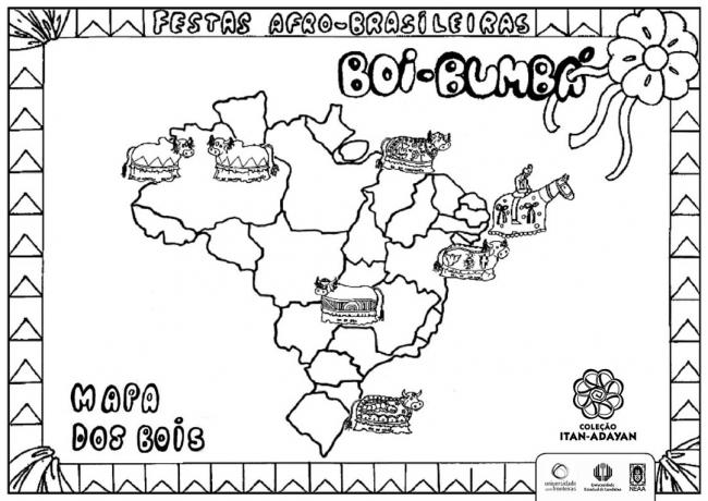
Let's learn a little coloring? Children's painting is very important for children's development. In addition to bringing all the benefits of an activity that works with motor coordination, agility, rhythm and perception space, painting is a social activity that conveys a sense of psychological well-being and allows for a better self esteem.

We also recommend: map of Asia

When drawing, the child develops self-expression and acts in an affective way with the world, giving opinions, criticizing, suggesting, through the use of colors, shapes, sizes, symbols, among others.

Index

  • Brazil Map drawings to color
  • Map about the climate of Brazil to color
  • Brazilian Capitals to color:
  • Regions:
  • With caption of Brazilian Regions:
  • Brazil Hydrographic Basins to color

Brazil Map drawings to color

States of Brazil and respective capitals

state Capital/Government Headquarters state Capital/Government Headquarters
Acre White River Paraíba João Pessoa
alagoas Maceio Paraná Curitiba
Amapá Macapa Pernambuco Recife
Amazons Manaus Piauí Teresina
Bahia savior Rio de Janeiro Rio de Janeiro
Ceará strength large northern river Christmas
Holy Spirit Victory Rio Grande do Sul Porto Alegre
Goiás Goiania Rondônia Porto Velho
Maranhão St. Louis Roraima Good view
Mato Grosso Cuiabá Santa Catarina Florianopolis
Mato Grosso do Sul Large field Sao Paulo Sao Paulo
Minas Gerais Belo Horizonte Sergipe Aracaju
For Bethlehem Tocantins palms
Federal District Brasilia

Map about the climate of Brazil to color

Brazilian Capitals to color:

Regions:

With caption of Brazilian Regions:

Brazil Hydrographic Basins to color

Subscribe to our email list and receive interesting information and updates in your email inbox

Thanks for signing up.

Fun and creative team names for scavenger hunts, work teams and more
on Aug 03, 2023
10 Hospital Christmas Decorations
on Aug 03, 2023
The most expensive properties are found IN THESE Brazilian cities
on Aug 03, 2023
1 Year5th YearLiteraturesPortuguese LanguageMind Map FungiMind Map ProteinsMathMaternal IiMatterEnvironmentLabor MarketMythology6 YearMoldsChristmasNewsNews EnemNumericalWords With CParlendasSharing AfricaThinkersLesson Plans6th YearPoliticsPortugueseRecent Posts Previous PostsSpringFirst World WarMain
  • 1 Year
  • 5th Year
  • Literatures
  • Portuguese Language
  • Mind Map Fungi
  • Mind Map Proteins
  • Math
  • Maternal Ii
  • Matter
  • Environment
  • Labor Market
  • Mythology
  • 6 Year
  • Molds
  • Christmas
  • News
  • News Enem
  • Numerical
Privacy
© Copyright Education for all people 2025